
Description
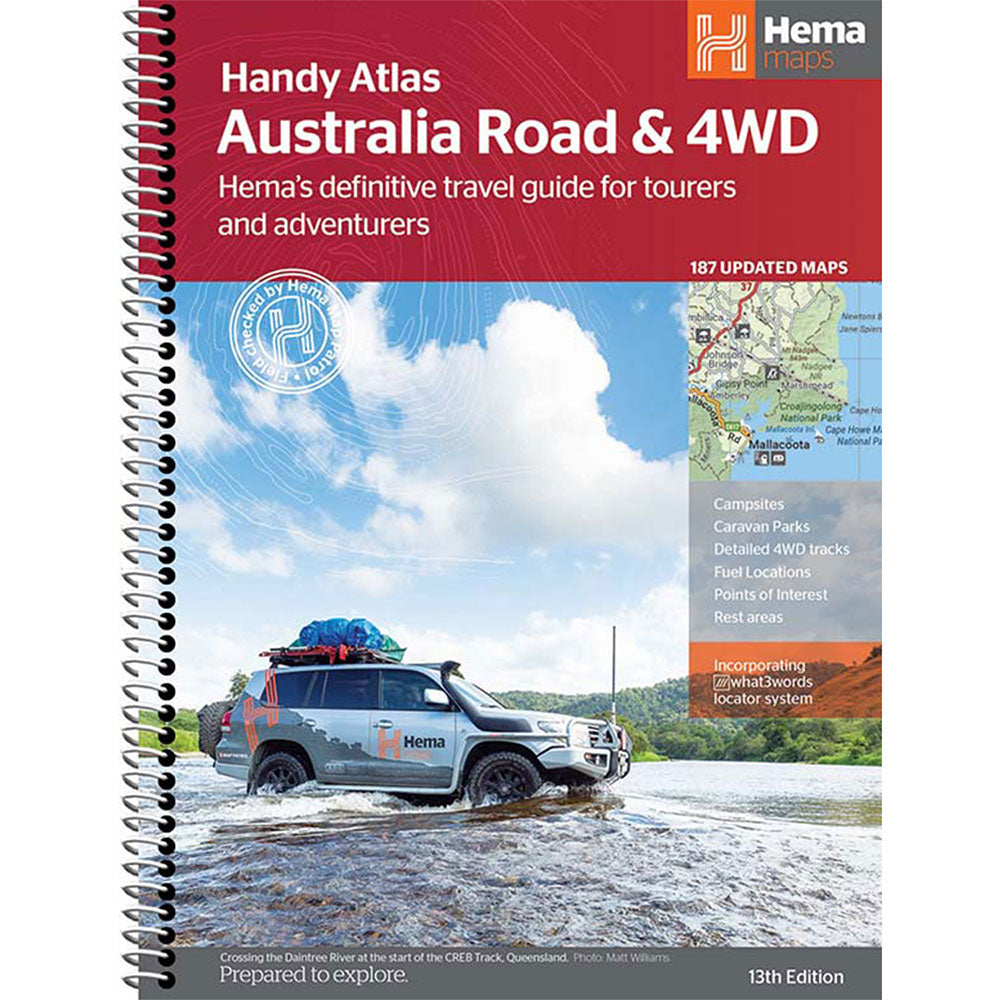
Featuring trusted Hema mapping for all of Australia, the Hema Road & 4WD Handy Atlas is the definitive travel guide for tourers and adventurers.
Hema atlases feature more information useful to travellers, including 4WD tracks, campsites, caravan parks, rest areas, 24-hour fuel and points of interest.
This edition in a handy size contains more mapping than ever before, which is enhanced by a striking new cartographic style that's incredibly easy to read.
Included in this is up-to-date mapping for Australia's biggest 4WD destinations: Cape York, Fraser Island, the Top End, the Kimberley, the Pilbara, Central Australia, High Country Victoria and the Flinders Ranges.
A handy distance grid, national park guide, list of accredited information centres and a complete index are also included to assist with trip planning and navigation, making it the perfect tool for guiding tourers, campers, road trippers and off-roaders throughout Australia.
Product Specifications
- Detailed 4WD tracks
- Fuel
- Points of interest
| Length : 4.3 cm | Width : 21.8 cm |
| Height : 29.9 cm |


Easy Returns
Free 365 Day Warranty

Shop & Pay in your currency
Now shipping to 40+ countries

100,000+ Products
Amazing Brands. All Gift Occasions.